Heritage & Archaeology
Technical and scientific expertise...
... serving heritage and research
Tools and services at every stage of your project, from diagnosis to promotion with our partners. We have a tailored solution to meet your needs.
Public institutions
Universities, local authorities, archaeologists…
Consulting firms
Surveyors, engineering firms, architects…
Private sector
Renovation companies, preventive archaeology…
Enhance the diagnosis of your project…
… by helping you better understand and preserve your heritage.
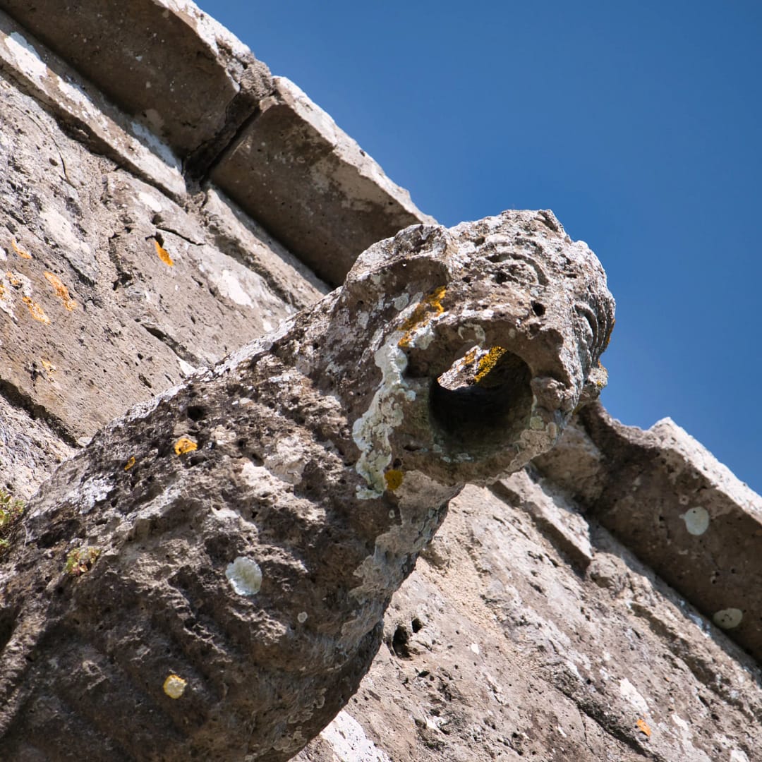
Hidden details?
Topographic surveys (and historical images) to understand the evolution of installations.
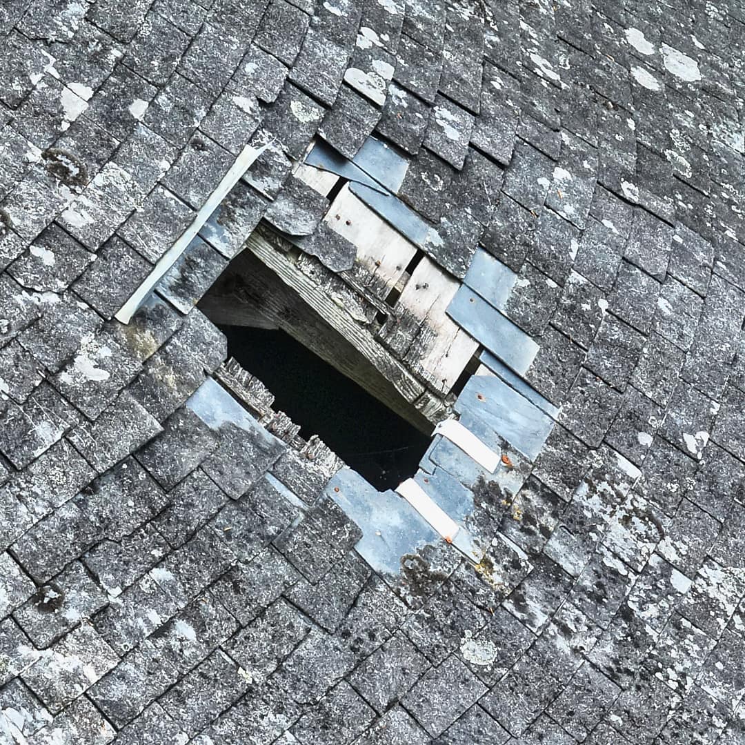
Is it in good condition?
An inspection with precise measurements, including inaccessible areas.
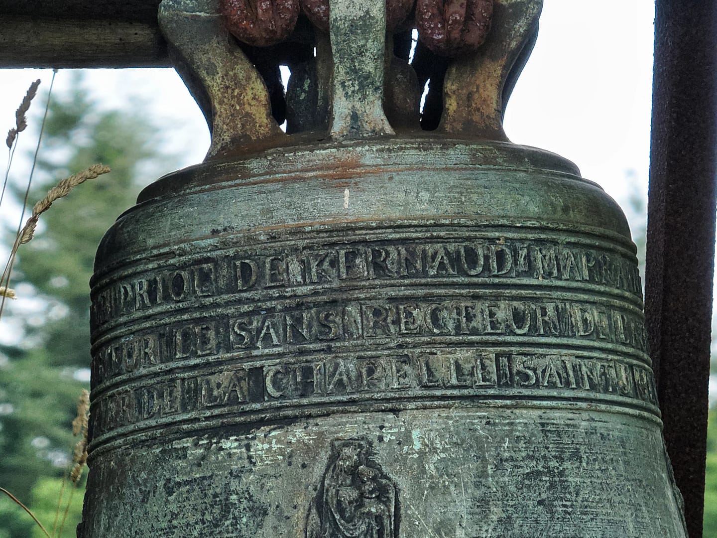
What level of precision?
From a monument to a city, what surface area and level of detail are required for your project?
Explore our tools and projects
Field surveys & topography
Altimetric surveys and creation of topographic plans using drones, Lidar, or photogrammetry.
Use of Digital Terrain Models (DTM) or Digital Surface Models (DSM) to describe the altimetry of a study area.

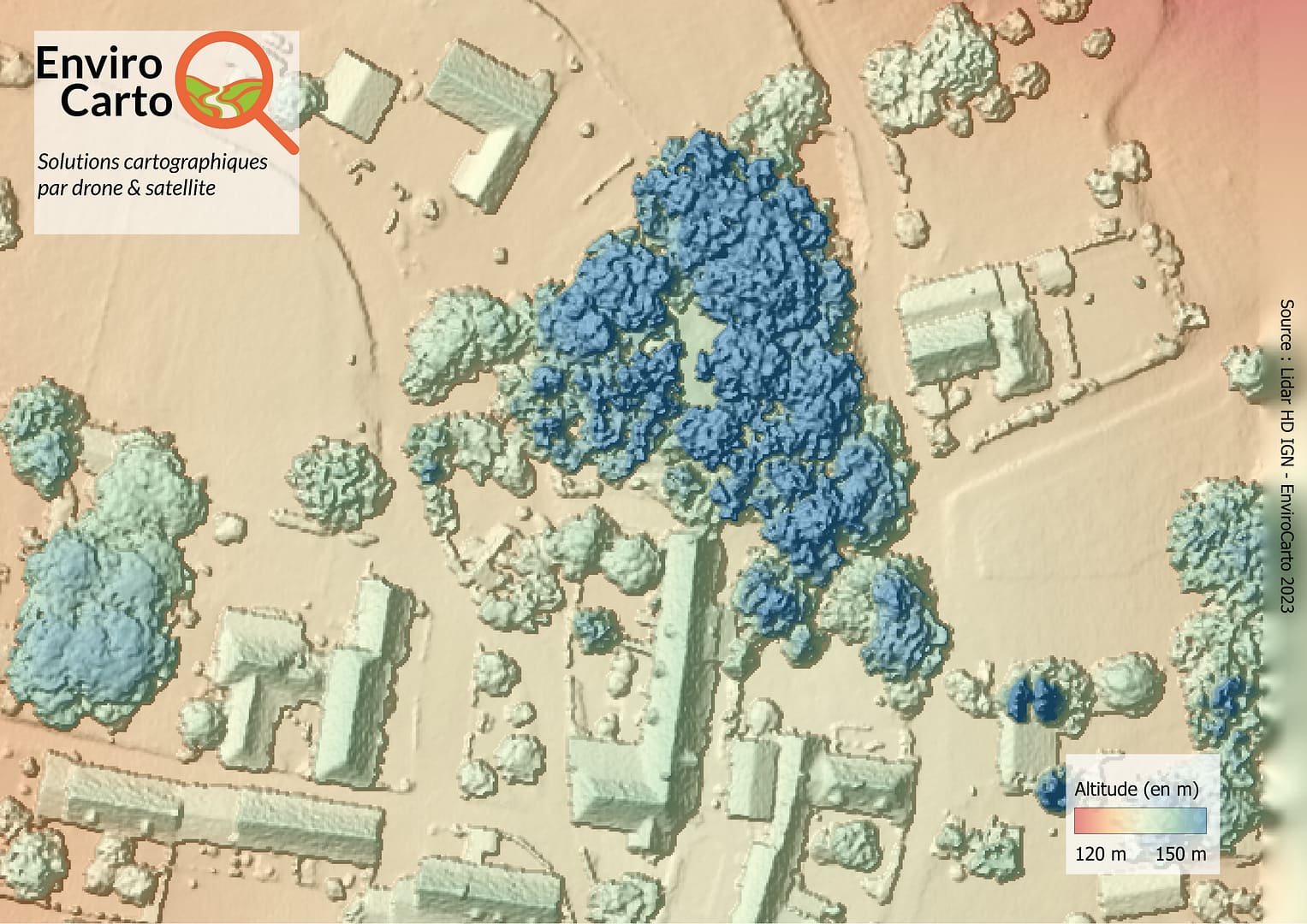
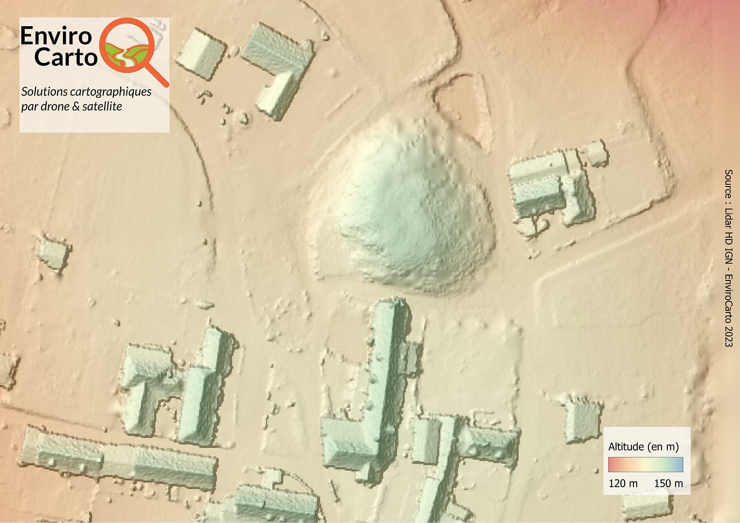
Digital Terrain Models (DTM) (+ built environment) and Digital Surface Models (DSM) from HD Lidar data by IGN – La Mothe Motte (24)
Visual & thermal inspection
- Speed and cost-effectiveness: a survey in record time providing a comprehensive overview of the work to be planned.
- Precision and Frequency: detailed and accurate site analysis, including hard-to-access areas. Monitoring of project progress is also possible.
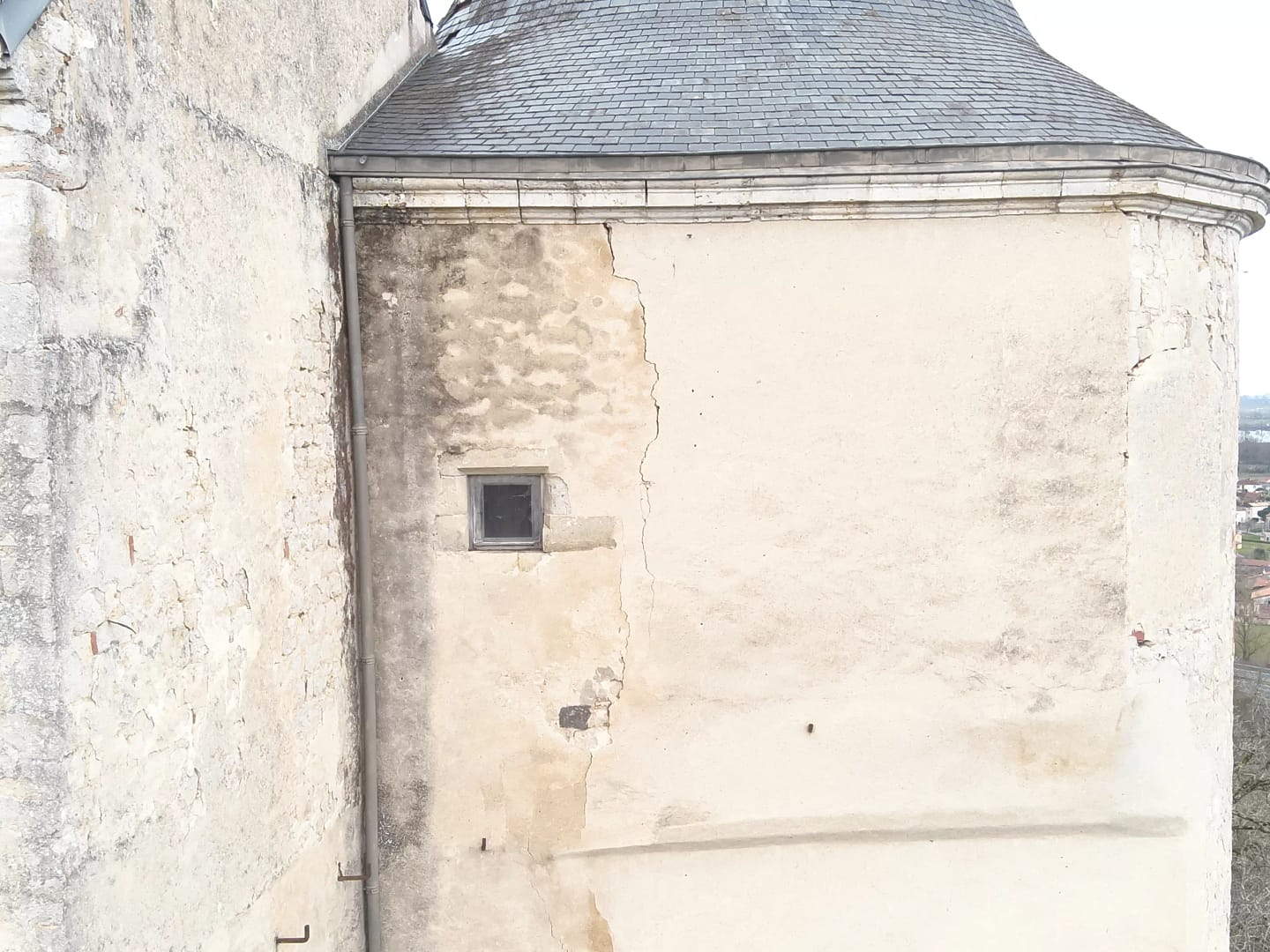
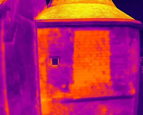
Thermal inspections can reveal ancient traces or structural modifications.
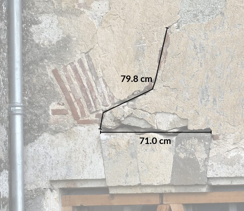
Each element can be accurately measured and located on the structure.
Facade surveys & site plans
- Facade surveys/elevations of heritage buildings for renovation or conservation projects.
- Réalisation de plans de masse avec une précision centimétrique grâce au drone.
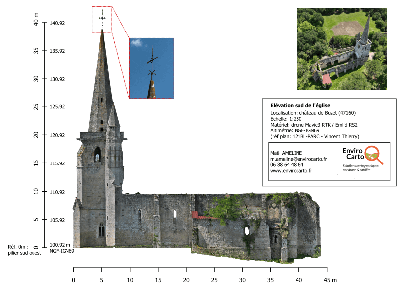
South elevation of a ruined church for the Château et Fabriques de Buzet association
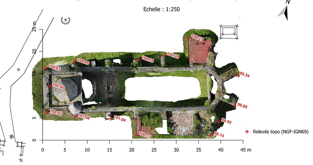
Site plan combined with a drone orthophoto – Buzet (47)
Virtual model of your monument
3D modeling captures details and provides measurements for a virtual model of buildings or archaeological sites.
Modeling from:
- drone acquisitions (photogrammetry or LiDAR),
- existing data (IGN HD LiDAR, terrestrial LiDAR, etc.).
Field surveys help to correct and estimate the accuracy of models.
Tour Tanguy (Brest) – Credits: Images (DroneReponse) – Modeling (EnviroCarto) – Sketchfab.com