Drone & satellite mapping
Solutions for businesses, local authorities, and R&D
Founder of EnviroCarto
Passionate Cartographer & Researcher
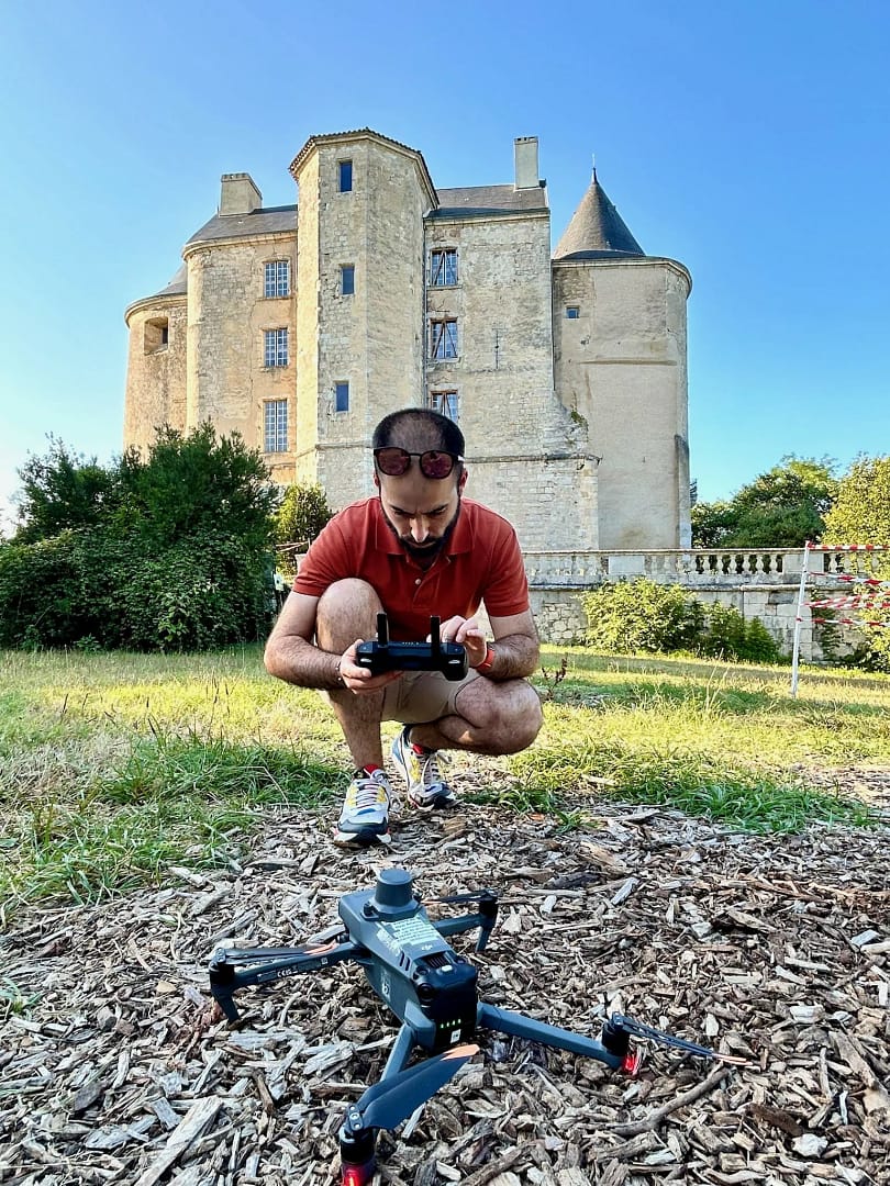
Maël AMELINE, Maël AMELINE, geographer, cartographer, and PhD graduate from the University of Toulouse
Listen and understand your needs THEN provide innovative and tailored mapping solutions

You can check out my scientific references (articles, conferences, etc.).
Based in the heart of the Lorient Technopole, EnviroCarto operates throughout Western France (and occasionally ventures as far as the land of the chocolatine)
How can we assist you?
Issue with a solar installation? Damage after a storm? Building renovation? …
A solution tailored to your challenges exists.
Business sectors
Technical and scientific expertise in drone and satellite mapping.
We bring our expertise to deliver innovative solutions tailored to the specific needs of each sector and, if necessary, collaborate with our network of qualified partners.

A responsibility, commitments
We are developing a responsible approach to reduce the impact of our activities on the environment and society.
Our tools
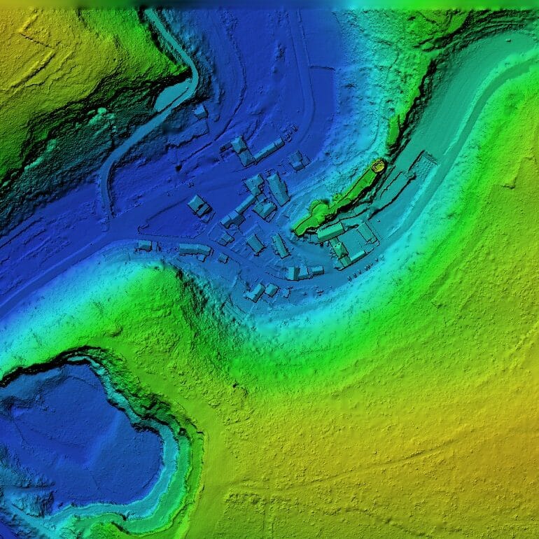
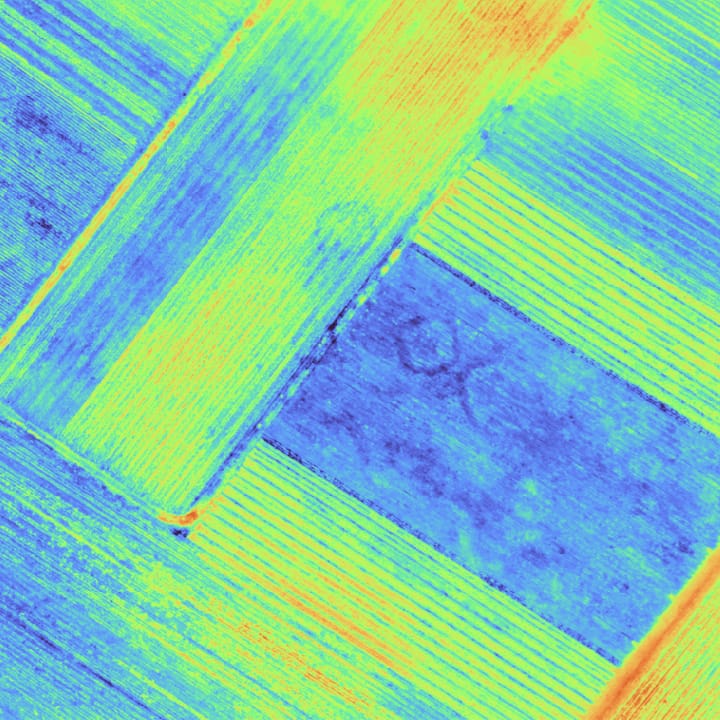
EnviroCarto and its partners have access to various tools (Lidar, multispectral & thermal) and easy access to satellite data.
Why EnviroCarto ?
- Complete expertise: from data collection to processing.
- Precision tailored to your project: drone for accuracy, satellite for exploring large areas
- Network of qualified partners

Topography

Vegetation indices
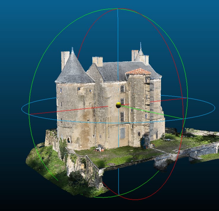
3D Modeling

GIS / Mapping
